

Where the valley climbs into the hills
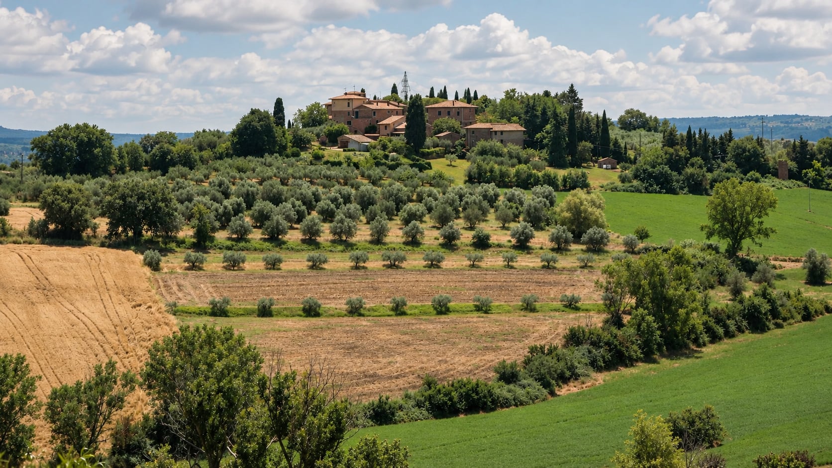
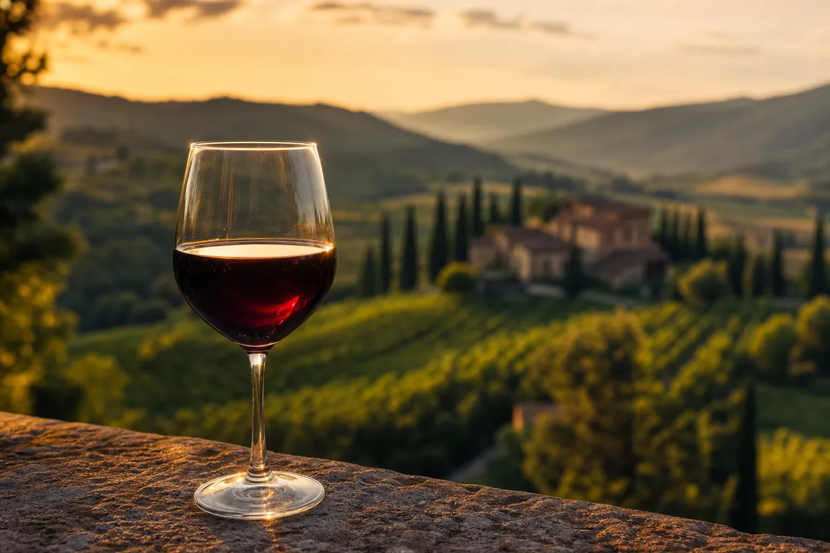
Campello sul Clitunno is one of those Umbrian municipalities that you understand best as a slope rather than a point. Down on the valley floor you find the springs and the river. The foothills above them carry olive groves and walled villages, and higher still come woods, pasture and small upland communities. The regional ecomuseum profile reads the whole territory as a single climb, from river plain through the olive-growing foothills to forest and grassland, and lists the Tempietto, the castles, the protected sites, the ethnographic museum and the documentation of transhumance among its treasures.
Campello Alto and a long civic story
Campello Alto is the walled hill settlement, and the most atmospheric corner of the municipality. Its castle enclosure is an ellipse at about 514 metres above sea level, and it still preserves stretches of wall, defensive details, an entrance gate and a public building. Inside stands the parish church of San Donato.
The foundation of Campello in the tenth century is a local tradition. The first documentary evidence for the castle dates to 1226. That is a lovely distinction to carry with you on the climb: the legend gives the village its romance, and the thirteenth-century document gives it its footing.
Campello Alto's story is one of sieges and recoveries. Around the middle of the fourteenth century the castle was sacked by Pietro Pianciani, lord of Spoleto, and Count Paolo of Campello was imprisoned. After Pianciani's expulsion Paolo built a new house at the foot of the hill in 1347. In 1366 the fortress was strengthened under Cardinal Albornoz, and in 1390 Paolo took the castle back and raised the blue and amaranth banner of the old feudal lords. In March 1391 the local massari obtained the castle with statutes and a podestà given by Spoleto, and the community formally adopted its own municipal statutes in 1569, approved the following year.
The civic map was redrawn more than once. After 1860 the communities of Acera, Agliano, Spina and Pissignano were aggregated into Campello, with Pettino following later. The municipality was suppressed in 1926 and restored two years later, which helps explain why civic life here is spread across so many separate places.
The lords of Campello also made their mark on wider history. In the time of Frederick II they were active supporters of the Empire against the Church, considerably so that Pope Honorius III harshly condemned them and called them "figli del diavolo", sons of the devil.
Villages, hamlets and their names
Part of the pleasure of Campello is that its place names keep multiplying as you look closer. Local planning lists La Bianca, Pissignano, Fonti del Clitunno, Settecamini, Acera, Pettino, Agliano, Lenano, Cubi, Spina Vecchia, Spina Nuova, Fontanelle and Passo d'Acera as the places that make up everyday geography.
The springs and the river
The name Clitunno belongs to several things at once: the river, which flows on well beyond the springs; the springs themselves, where the water emerges; the Fonti del Clitunno historic park, a garden around a spring-fed basin; and a Natura 2000 protected site.
The garden you walk through today is attributed to Paolo Campello della Spina, who shaped it between 1860 and 1865 around a basin of nearly 10,000 square metres. The perimeter is a little over 400 metres, which makes it a garden to stroll rather than a hike.
The Natura 2000 site covers about 16 hectares in Campello sul Clitunno and Trevi. It takes in the springs and the first stretch of the river toward Pigge, and six habitat types are listed within it.
The Tempietto sul Clitunno
The little church known as the Tempietto, in the hamlet of Pissignano, is the great treasure of the valley. It is a component of the World Heritage property Longobards in Italy, a serial property of seven groups inscribed in 2011.
The Ministry of Culture dates the present building broadly to the period between the early seventh and the eighth century. It describes a cella, a marble aedicule assembled from reused first-century elements and Lombard carved slabs, early Christian frescoes, side porticoes and an inscription on the facade that invokes God. The mixture of Roman salvage and Lombard workmanship is the reason it rewards a slow look.
Pissignano, painted walls and a Roman trace
Pissignano is a fortified village above the valley floor. Its upper settlement follows a triangular plan fitted to the slope, with towers and terraced houses. The church of San Benedetto uses a pentagonal tower as both bell tower and apse, and the remains of the community building keep a fresco of the Madonna and Child dated 1545.
The Oratorio di San Sebastiano is dated by the municipality to 1522-1528 and read as a votive offering connected with the plague. Its votive paintings are attributed to Lo Spagna and his workshop, and they show the lives of Saints Sebastian and Roch, long invoked as protectors against the plague. A late eighteenth-century intervention on the facade is linked to Giuseppe Valadier, who also worked on the Santuario della Bianca and Palazzo Casagrande in the municipality.
Two inscribed stones known as the cippi of the Lex Luci Spoletina were found at San Quirico in Castel Ritaldi in 1879 and at Santo Stefano di Picciche in Trevi in 1913, and they are kept in Spoleto. Scholars link them to the sanctuary of the Clitunno, so the Roman story of the valley is spread across the neighbouring municipalities.
Olive country
Campello is one of six municipalities named in the application to the FAO for the Olive Groves of the Slopes between Assisi and Spoleto, which has been a Globally Important Agricultural Heritage System since 2018. The application describes terraced cultivation, traditional knowledge and a landscape band roughly 200 to 600 metres above sea level.
On the label, the wording matters. Umbria is the protected designation of origin for the extra-virgin oil, and Colli Assisi Spoleto is an allowed geographic mention. Look for the Colli Assisi-Spoleto mention on the label when you want that blend.
For that mention, the specification calls for at least 60 percent Moraiolo, no more than 30 percent Leccino and Frantoio alone or together, and no more than 10 percent of other varieties. It is a useful detail if you enjoy tasting oils with a producer who can explain the blend.
The mountain side
The site Monti Serano-Brunette crosses Campello, Trevi and Sellano, while Valle di Pettino crosses Campello, Spoleto and Trevi, so a day in the hills is really a day across several municipalities.
Fosso di Camposolo covers about 609 hectares across Campello sul Clitunno, Spoleto and a small part of Vallo di Nera. It takes in most of the Camposolo and Moia ravines up to Monte Felcito and Monte Pianciano, and it is mainly steep, wooded country with fragments of upland pasture.
Planning a stay by landscape
Campello rewards a visit arranged by landscape rather than by checklist. A valley-floor day can link the springs park, the river, the Tempietto and Pissignano. Campello Alto deserves its own unhurried morning, ideally paired with a visit to an olive mill, and the upland hamlets and mountains belong to slower days with a good map. Spoleto and Trevi make natural companions for a longer stay.
Opening days, tickets and trail conditions change, so confirm them with the park, the Ministry or the municipality before you set out.
More of Umbria
A letter from Italy, once a month.
The places, tables and makers we found worth your time. One email, no noise.
One letter a month. Unsubscribe at any time. We never share your address.